

SC-_ Anjan Kumar Bordoloi
The Dehing Patkai encompasses a large area covering the districts of Tinsukia and Dibruarh in Assam and part of Arunachal Pradesh (the districts of Tirap, Changlang and lower Dibang Valley). The whole tract of land covering the two banks of the river “Buri-Dehing” (a branch of the river “Diyun” that originates from the Patkai range and bifurcates near Miao in Arunachal Pradesh) is the Dehing Patkai region. On being bifurcated, one branch of the river Diyun viz. ‘Noa Dehing’ reaches the river Luhit, while the other ‘Buri Dehing’ dips down into the great Brahmaputra; thereby creating a vast land mass- the river island yet to be traced.
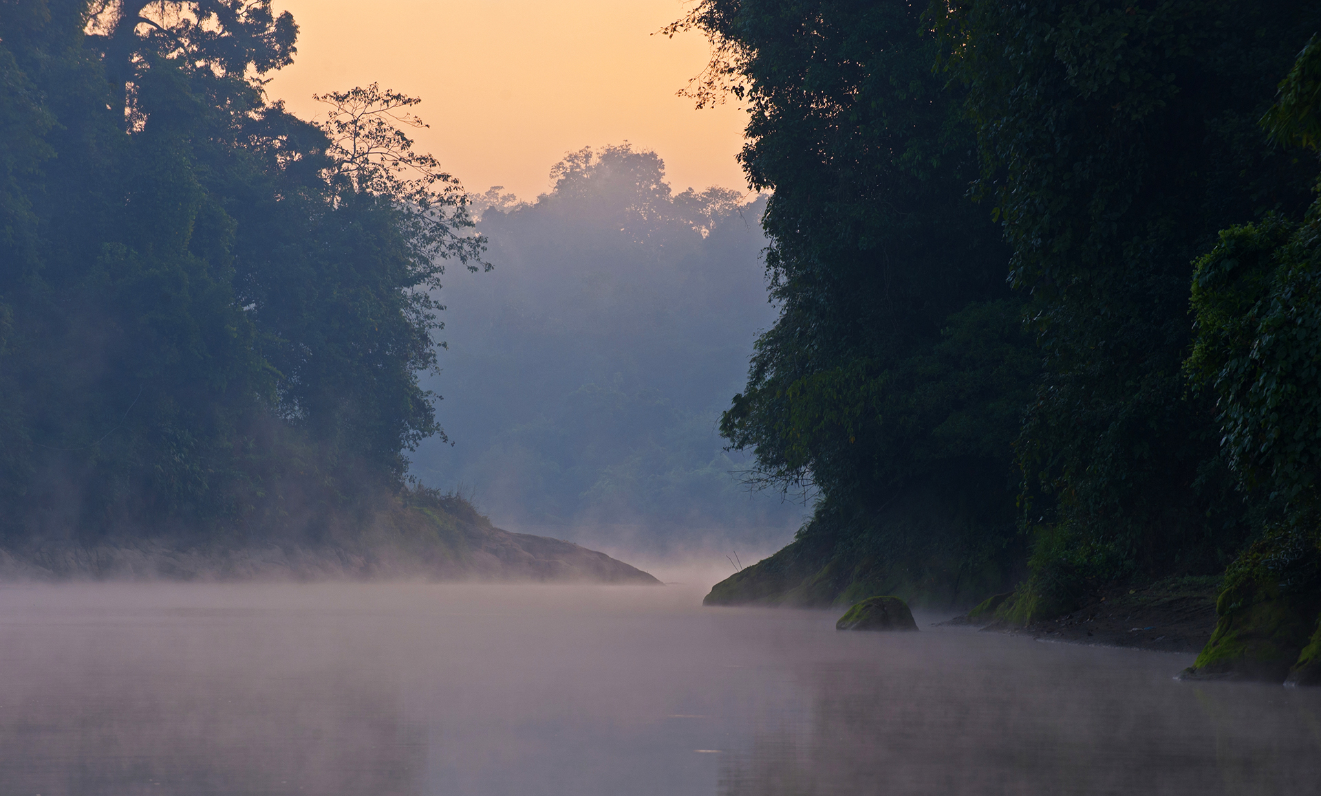
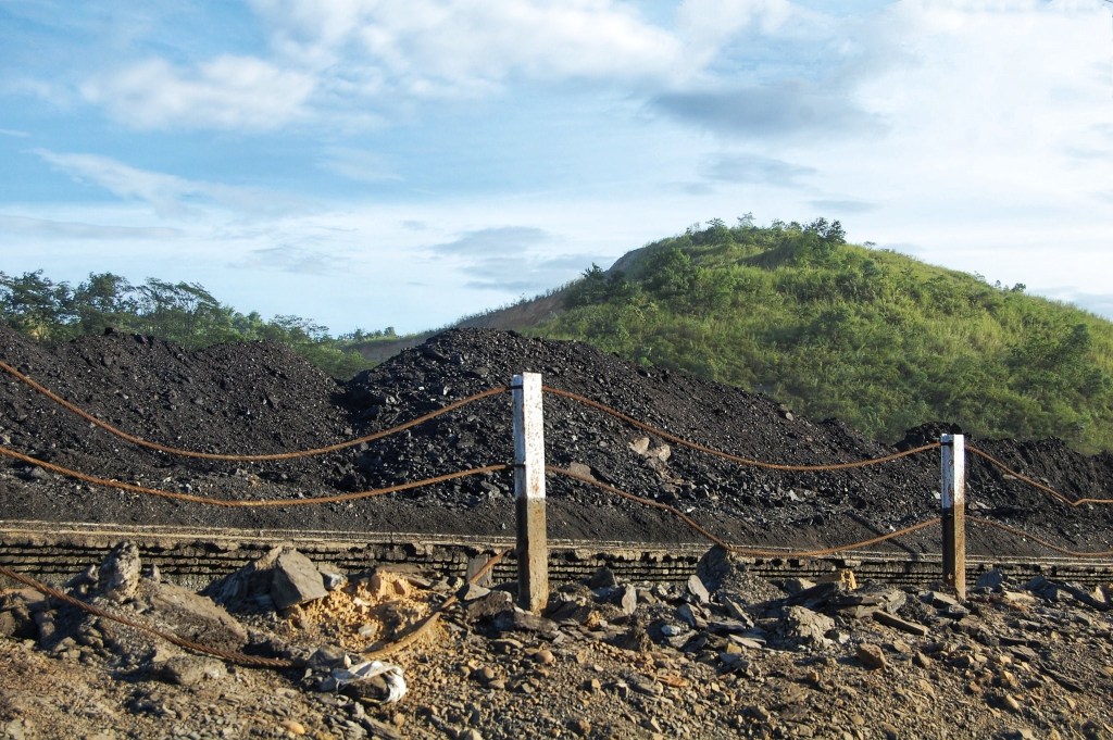
While going through the published historical references denote the Dehing or Dihing as one of the large southern feeders of the Brahmaputra. The actual pronunciation of the name was DEEYUN, but the Britishers anglicized it to DEHING. DEEYUN was a Kachari word for cold water, which is Dee for water/ river, Yun for Cold. The upper course of the river from Miao to its source is still called Diyun not Daayun as many people pronounced not knowing the actual pronunciation. The river originates from the junction of the Patkai and Kumon Bum ranges at Chaukham Pass in the east at an altitude of approximately 2432 meters with snow fall having high peaks nearby. The river flows down through dense forests. Hence the water is cold especially in the upper course with rocks and boulders at the bottom. Secondly, the Patkai means a mountain. It is comparatively a low mountain and forms the major part of the Indo-Myanmar border. The lowest point in height of the mountain is approximately 1229 meters at Pangsao Pass. The highest point is approximately 2780 meters at the centre. The whole belt of the Dihing and Patkai provides a suitable geographical and environmental setting with valuable forests, rare species of animals and birds, mineral resources like oil and coal etc and heavy rainfall and fertile arable land suitable for agriculture. It is on the other hand one of the centuries old most favoured and widely used route during migration by various ethnic tribes and the Ahoms. The historically famous Stillwell road of World War II also passes through it via Pangsau pass and widely discussed in and out of the country in recent years advocating re-opening of the road for commerce & trade activities. The policy decision of the Govt. of India is said to have been still awaited. It is also helpful in reviving centuries old ethnic relations between India & South East Asian countries.
The name Patkai is an abbreviated form of Pat-kai-cheng-kan. It was a typical religious ceremony symbolic to a war dating back to 1323 Saka (1401 AD). The ceremony was performed at the edge of the waters of the Nangayang (Nang for lake, nyang for exists) at the foot of the southern slope of the mountain, in token of the treaty of surrender and peace ensuing a war.
As discussed Dehing Patkai area comes under the country’s richest ‘North East bio-geographic zone’ and ‘Brahmaputra valley Biotic Province’. It is a part of the World’s bio-diversity hotspot. The whole region is the homeland of several hundred species of plants, animals, birds and orchids; which include several rare and unique varieties too. The Govt of Assam by a notification dated 19th June, 2004 declared creation of the Dehing Patkai Wildlife Sanctuary covering a part of the greater Dehing Patkai region falling within the territory of Assam under the Digboi and Dibrugarh forest divisions. The Whole area is fabricated with a large number of ethnic tribes. They mostly belong to Mongolian blood and are socio-culturally related to the South-East Asian Countries like Thailand and Cambodia including Myanmar. In addition to these ethnic tribes of Mongolian origin, tea community and various non-tribal communities live in this vast area from time immemorial with their respective socio-cultural practices.
Here in Dehing Patkai lives a large number of ethnic tribes, socio culturally akin to South East-Asia besides non-tribals from different parts of the country. This belt is a combination of human, natural, cultural, ethnic beauty, religious attractions, heritage sites and deep forests. One can explore ethnic and cultural mosaic, religious attractions, wild life and flora and fauna, cultural life style (their food habit, dress, ornaments, religious practices, games and sports etc) of the large number of ethnic tribes like Singphos, Noctes, Tai Phakes, Wangchos, Tangsas, Sonowals, Kacharis, Duanias, Khamtis, Deoris, Sema Nagas and many more in addition to those of non-tribals like Ahoms, Morans, Mottacks, Tea Communities, Nepalise etc. It provides a unique opportunity for all to enjoy (as if under the same roof) the diverse cultural and heritage mosaic of various ethnic tribes and communities dwelling in this belt within an integrated cultural pattern in a spirit of unity in diversity. Thus the area of Dehing Patkai is seen to be an interesting for those desirous to learn about the society and culture of eastern Assam.
Notes & References:
- Barua, Surendra N.: Dehing Patkai—The History Behind, Dehing Patkai Souvenir, Vol-2, 2003, pp 1-.4.
- Barua, Surendra N.: Tribes of Indo-Burma Border, 1991, pp 3-111.